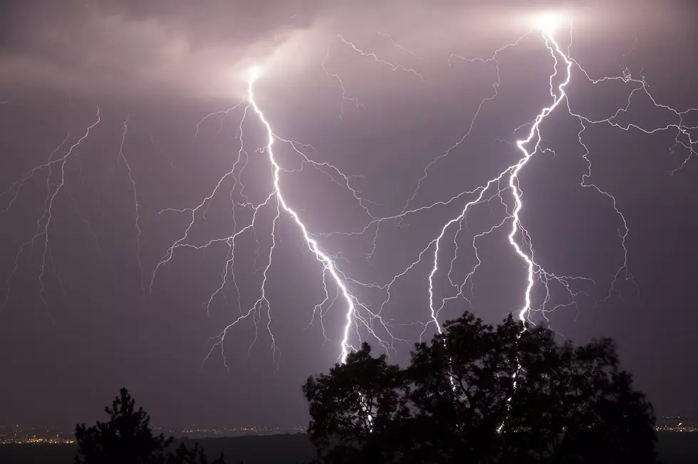
Severe Weather Risk for Owensboro and the Tri-State Saturday
It seems like we have a snow threat one weekend and a severe weather threat the next. Well, gang, it's severe weather's turn.
The National Weather Service has the tri-state under a marginal to slight risk for severe weather Saturday.
National Weather Service
Here's what the agency is saying:
.DAYS TWO THROUGH SEVEN...Friday through Wednesday

Thunderstorm chances enter the forecast late Friday night, and
especially Saturday. An isolated strong or severe storm cannot be
ruled out during the day on Saturday. Forecast storm total rainfall
for this early weekend storm system will average close to an
inch, with locally higher amounts in thunderstorms possible.

A similar looking storm system is forecast to impact the area
during the middle part of the next work week...with minimal impact
light snow chances across the north late Tuesday night,
transitioning to heavier rain chances during the day on Wednesday.
Upward to around another inch of rainfall is possible again with
this system.

Major flooding will continue on portions of the lower Ohio River.
Minor to moderate flooding will continue on several other rivers.
Refer to the latest Flood Warnings and Statements for details.
We'll cross our fingers and keep you posted.
More From WOMI-AM
![Courtney Peveler Singing the National Anthem is All You Need Today! [VIDEO]](http://townsquare.media/site/76/files/2019/03/53646194_10211336357963595_6335680556692406272_n.jpg?w=980&q=75)


![Reba’s Imitation of Cardi B is Both Spot On and Hilarious [VIDEO]](http://townsquare.media/site/77/files/2019/03/GettyImages-693596598.jpg?w=980&q=75)