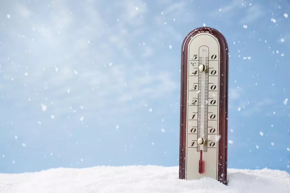
Wind Chill Advisory Issued for Owensboro and the Tri-State
Brrrrrrr! And, man, is THAT an understatement. It's entirely possible my lips won't be able to make that sound come midweek.
The National Weather Service has issued a Wind Chill Advisory for Owensboro and the tri-state.
It's the kind of advisory we should ALWAYS take seriously.
Here's what the NWS had to say:
...WIND CHILL ADVISORY IN EFFECT FROM MIDNIGHT TUESDAY NIGHT TO
NOON CST WEDNESDAY...

* WHAT...Very cold wind chills expected. Wind chills as low as 10
  to 20 below zero likely.

* WHERE...Portions of southwest Indiana, southeast Missouri,
  western Kentucky and southern Illinois, north of a line from
  Marble Hill Missouri, to Vienna Illinois to Calhoun Kentucky.

* WHEN...From midnight Tuesday night to noon CST Wednesday.

* ADDITIONAL DETAILS...The cold wind chills could cause
  frostbite on exposed skin in as little as 30 minutes.

PRECAUTIONARY/PREPAREDNESS ACTIONS...

A Wind Chill Advisory means that cold air and the wind will
combine to create low wind chills. Frostbite and hypothermia can
occur if precautions are not taken. Make sure you wear a hat and
gloves.
I'm gonna try multiple hats and gloves, actually.
ACTUALLY, I'm going to try to stay indoors as much as possible. I recommend the same for you, as well.
Wind chills in the negative DOUBLE digits are NOTHING to mess with.
More From WOMI-AM


![Indiana One Room Schoolhouse Undergoes Home Renovation You Have To See To Believe [PHOTOS]](http://townsquare.media/site/75/files/2022/01/attachment-KFC-Firelog-6.jpg?w=980&q=75)
