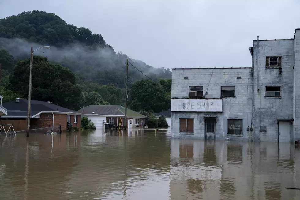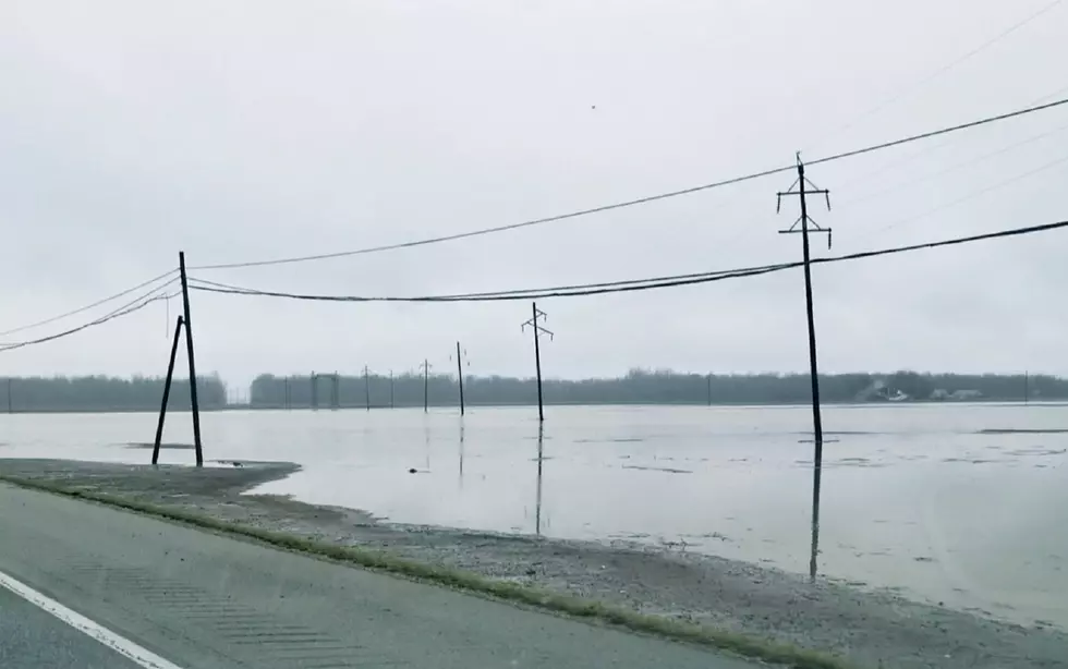
Flood Watch in Effect for the Entire Tri-State Through Saturday Night
Only in the Evansville-area can we go from a winter storm and below freezing temperatures, to highs in the 60's and a ridiculous amount of rain in the span of two weeks.
The National Weather Service out of Paducah has issued a Flood Watch for the entire Tri-State area effective Friday evening through Saturday night.
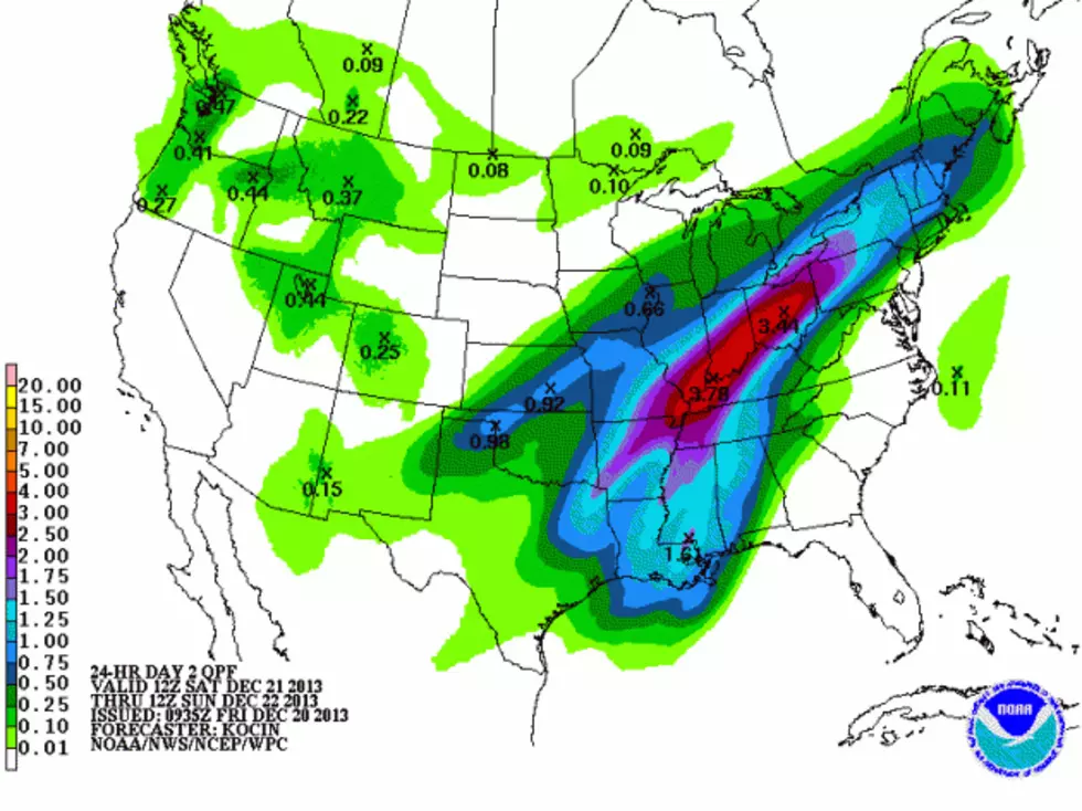
When all is said and done, parts of the area, including Evansville, could receive up to five inches of rain fall between now and then. Thanks to all the snow that has melted away over the past week, the ground is saturated with moisture leaving the additional rain nowhere to go, but everywhere we don't want it.
The National Weather Service also issued a separate, Hazardous Weather Outlook regarding the possibility of severe weather with the system which states:
THERE IS A CHANCE OF SEVERE THUNDERSTORM DEVELOPMENT LATE SATURDAY AND SATURDAY EVENING...GENERALLY IN WESTERN KENTUCKY...SOUTHWESTERN INDIANA...AND ADJACENT PARTS OF SOUTHEASTERN MISSOURI AND
SOUTHEASTERN ILLINOIS. LOCAL DAMAGING WIND GUSTS AND PERHAPS A BRIEF SHORT-LIVED TORNADO OR TWO APPEAR TO BE THE MAIN HAZARDS...AS STRONG WIND FIELDS WILL BE IN PLACE ALOFT. HOWEVER...THE CHANCE OF
SEVERE STORMS WILL BE HIGHLY CONDITIONAL AND BASED ON HOW MUCH INSTABILITY CAN DEVELOP ACROSS THE AREA.
They also warn that if you live in an area prone to flooding, be prepared to take action in the event flooding begins to develop in your area.
More From WOMI-AM