Hazardous Weather Outlook Issued for Tuesday, June 12
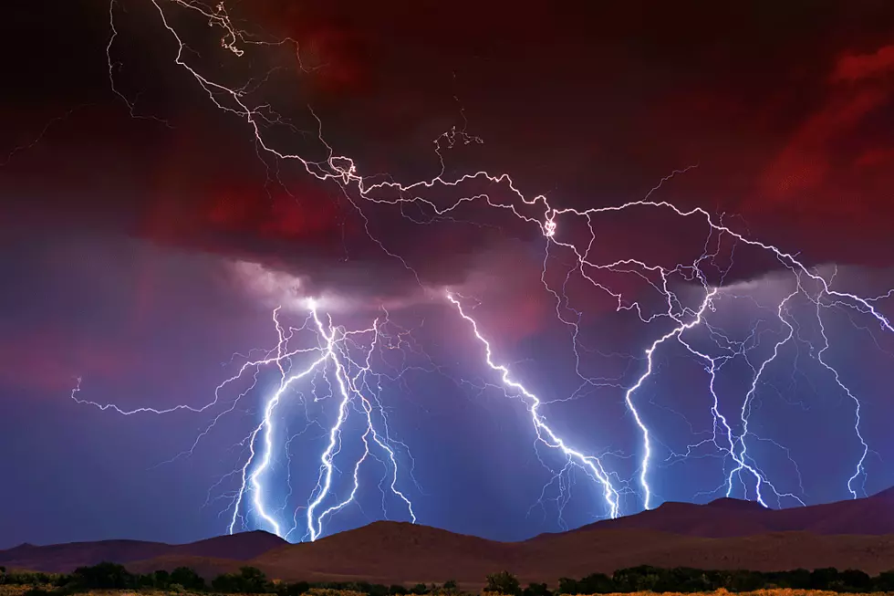
So far this summer has been non-stop raining. I pretty much didn't sleep last night because of all the thunder and lightening. Go to bed, Mother Nature! This morning looks pretty gloomy out and I hear more thunder in the distance. So, there's a hazardous weather outlook. But the main concern isn't tornadoes this time. It's flooding, hail, and lightening!
How can you stay safe? See more from the NWS here.
- TURN AROUND, DON'T DROWN.
- STAY INDOORS OR UNDER SHELTER.
- STAY OFF CORDED PHONES OR OTHER CORDED ELECTRICAL DEVICES.
- STAY AWAY FROM PLUMBING.
- STAY AWAY FROM CONCRETE.
Hazardous Weather Outlook
National Weather Service Paducah KY
407 AM CDT Tue Jun 12 2018
This Hazardous Weather Outlook is for portions of southern Illinois, southwest Indiana, western Kentucky, and southeast Missouri.
DAY ONE...Today and Tonight
Scattered to numerous thunderstorms will continue today. Locally heavy rainfall is the primary concern, especially where the ground is nearly saturated in southwest Indiana and southeast Illinois. Some isolated flooding is possible. During the afternoon and early evening, a few strong storms with hail and gusty winds are possible.
DAYS TWO THROUGH SEVEN...Wednesday through Monday
There is a chance of thunderstorms Wednesday. Locally heavy rain and dangerous lightning are the primary concerns. A few storms could become strong, with hail and gusty winds.
There is a slight chance of thunderstorms every day from Thursday into early next week. The storms will be mainly during the heat of the afternoon. Dangerous lightning will be the main concern.
The heat index will peak around 100 degrees each afternoon from Friday through Monday.


