How to Submit Your Weather-Related Closing or Delay // Receive Closing Notifications
I remember being a kid, lying in bed at 6 AM and listening to the radio for my school to be called off for snow. You'd listen to a couple songs, then listen to the DJ talk about the weather, and when the closings came, they had to list off all eight-zillion schools and businesses. Got up to use the restroom? Oh you missed it! By this time, I was awake.
Want minimum effort in finding YOUR closing? If you don't want to be caught searching various websites or watch the TV scroll for the latest info, just download our app. We have a WEATHER CLOSINGS tab right up front and we also send out a notification. (SEE ABOVE) So, you can check it and go back to dreamland.
Downloading the app is easy. Click the button below. Remember to turn on the BREAKING NEWS notification to get your closings notification when they start rolling in.
To submit a closing, using a valid company email, please email me here.

FORECAST FOR MONDAY, NOVEMBER 11, 2019
* WHAT...Snow expected. Total snow accumulations of one to two
inches likely. Winds gusting as high as 25 to 35 mph.
* WHERE...Portions of southwest Indiana, southeast Missouri,
western Kentucky and southern Illinois.
* WHEN...From 3 PM this afternoon to midnight CST tonight.
* IMPACTS...Plan on scattered slippery road conditions. The
hazardous conditions could impact the evening commute.
* ADDITIONAL DETAILS...Snow accumulation may be higher on grassy
and elevated surfaces, and lower on area roads. However slick
spots may develop as temperatures rapidly fall.
Listen to Ron Rhodes' Forecast:
PRECAUTIONARY/PREPAREDNESS ACTIONS...
Slow down and use caution while traveling.
The latest road conditions for the state you are calling from can
be obtained by calling 5 1 1.
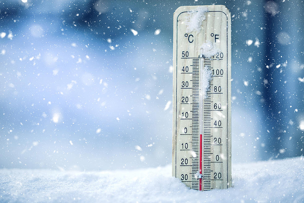
There is high confidence that we will see near record or record cold temperatures next Tuesday (November 12th) and possibly Wednesday (November 13th) with the next Arctic cold front that moves into the area late Sunday night. Temperatures will likely remain at or below freezing from after sunset on Monday through mid-morning on Wednesday, with wind chills in the single digits on Tuesday.
Source:[National Weather Service]

More From WOMI-AM


![[UPDATE] Poseyville Police Have Found Missing 15 Year Old](http://townsquare.media/site/782/files/2019/11/Copy-of-Downtown-Evansville.png?w=980&q=75)

![Winter Weather Advisory Issued for Parts of Tristate [Forecast]](http://townsquare.media/site/76/files/2019/11/A15.jpg?w=980&q=75)


![CBS Christmas Special Schedule for November and December [VIDEO]](http://townsquare.media/site/77/files/2019/11/CBS-via-YouTube.png?w=980&q=75)
