Western Kentucky, Southern Indiana at Risk for Severe Weather
While chatting with Eyewitness News Chief Meteorologist Wayne Hart Monday afternoon, we discussed a topic that hadn't come up in a very long time--severe weather.
Wayne told me that last time we had some kind of a severe warning was back in September, but that it didn't amount to much. This has been a very dry autumn, and that explains the the relative absence of severe weather developments.
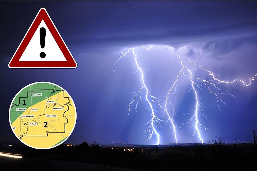
But that has now changed and the tri-state is under a multi-level severe weather risk for Tuesday evening. The risk is greater to the south--a Level 2 Slight Risk--and not as great in the northern half to two-thirds of the region which is under a Level 1 Marginal Risk.
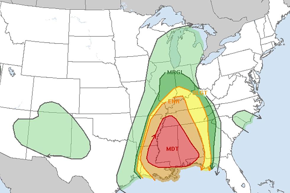
On Sunday, I began monitoring a developing severe weather event by way of the National Weather Service's Storm Prediction Center. Late that night, it really didn't look much different than the latest updated map, with the exception of the red-shaded area in the deep south which has moved farther to the east:
Here's a special weather statement from the National Weather Service regarding this evening's severe threat:
We remain outlooked for a slight risk of severe thunderstorms the rest of today and tonight. Stronger storms may produce wind gusts in excess of 40 mph along and ahead of a cold front toward the end of the day and through the evening. A few storms could become severe and produce damaging wind, and possibly a short duration, weak tornado.
The NWS also suggested that now would be a good time to secure any holiday decorations, as the winds will be gusty any anywhere in the 10-40 MPH range throughout the evening.
LOOK: The most expensive weather and climate disasters in recent decades
The Worst Owensboro Storms I Can Remember
KEEP READING: Get answers to 51 of the most frequently asked weather questions...
More From WOMI-AM

![Severe Storms Tear the Roof Completely Off Indiana Church [PHOTOS]](http://townsquare.media/site/71/files/2023/03/attachment-St-Joe-Damage-South-Face-02.jpg?w=980&q=75)


