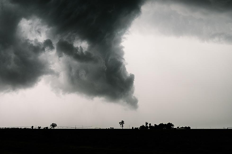
Serious Tornado and Severe Weather Threat Brewing for Western Kentucky on Wednesday
Here in western Kentucky, we have had more than our fair share of severe weather in the last few months. Dating back to the devastating December 10th tornadoes that hit Mayfield, Dawson Springs, Bowling Green, Ohio County and other areas, we have had multiple severe weather outbreaks. According to the National Weather Service, we could see another one mid-week.
But, before our chance of severe weather ramps up for Wednesday, there is the growing likelihood of a major outbreak in Tornado Alley on Tuesday. In fact, Extreme Meteorologist Reed Timmer hosted a live update on his Facebook page yesterday. He warned we could see "the most significant tornado event in 3 years.
Following that potential outbreak on Tuesday, the tornado threat shifts to parts of western Kentucky and southern Indiana on Wednesday. Here's how Reed has mapped out the possible warned areas mid-week. You'll notice that his map includes all of the Tristate area- including Owensboro, Kentucky and Evansville, Indiana.
The National Weather Service seems to be in agreement. On Sunday, they shared this graphic, which shows the threat of severe weather on Wednesday here in the tristate. Areas just west of Owensboro seem to be under an Enhanced Risk, with a probability for severe storms, at least as of this story, at 30%.
Of course, we'll keep you updated with further developments. You can download our station app and enable notifications to stay up-to-date on breaking news and weather watches and warnings. If severe weather does break out here in the Tristate, we will join our friends at Eyewitness News anytime they have wall-to-wall weather coverage.

Dec 10 Tornado Destruction in Mayfield KY
December 10th Tornado Destruction in Ohio County
More From WOMI-AM