![Severe Weather Possible Monday, Snow Friday?](http://townsquare.media/site/77/files/2018/11/RS3829_78434005-1.jpg?w=980&q=75)
Severe Weather Possible Monday, Snow Friday?
Who knew that when Daylight Savings Time started that the weather would instantly start to look frightful. Here's what we have on tap for the first full week for November.
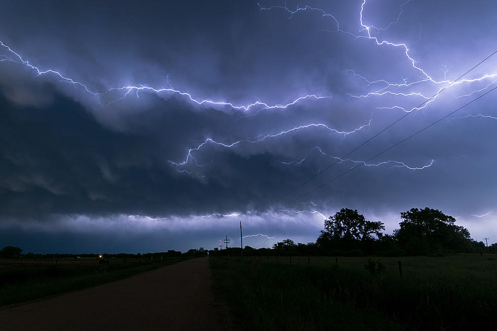
The NWS Storm Prediction Center has set a timeline for severe thunderstorms beginning Monday night at 6pm and ending midnight Tuesday.
weather.gov/pah
Thus, we are in the Enhanced Risk category for Monday night.
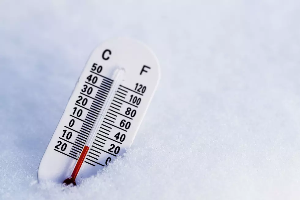
Now, as I was looking at weather for the rest of the week, I noticed the word and picture for snow. What?
The National Weather Service at Paducah has this listed for the Thursday into Friday overnight forecast:
Thursday Night
A chance of rain before 3am, then a chance of rain and snow between 3am and 4am, then a chance of snow after 4am. Mostly cloudy, with a low around 33. North northwest wind 6 to 8 mph.
Even if the snow doesn't materialize and there's no accumulation expected, our temperatures will drop significantly going into next weekend, with lows hovering around the lower 30's.
We will monitor all weather situations as they develop with help from your Eyewitness News Weather Authority.
More From WOMI-AM
![Heavy Rain and Flooding Possible for Southern Indiana and Western Kentucky Thursday and Friday](http://townsquare.media/site/71/files/2023/03/attachment-Flooded-Road-w-Sign.jpg?w=980&q=75)
![Severe Storms Tear the Roof Completely Off Indiana Church [PHOTOS]](http://townsquare.media/site/71/files/2023/03/attachment-St-Joe-Damage-South-Face-02.jpg?w=980&q=75)
![Severe Weather Risk for Western KY and Southern IN — Multiple Risk Levels in Play](http://townsquare.media/site/76/files/2023/02/attachment-Untitled-design19.jpg?w=980&q=75)
![Use This 3-Digit Number to Find a Warming Center Near You in Indiana](http://townsquare.media/site/72/files/2022/12/attachment-Copy-of-Copy-of-Copy-of-Copy-of-Copy-of-Copy-of-Untitled-Design-5.jpg?w=980&q=75)
![Western Kentucky, Southern Indiana at Risk for Severe Weather](http://townsquare.media/site/76/files/2022/11/attachment-Untitled-design-80.jpg?w=980&q=75)
![Tri-State Upgraded to Excessive Heat Warning Through Wednesday](http://townsquare.media/site/76/files/2022/06/attachment-ilse-orsel-cPiKUJkTWWA-unsplash.jpg?w=980&q=75)
![70 MPH Winds Possible with Southern Indiana and Western Kentucky Storms](http://townsquare.media/site/71/files/2022/03/attachment-March-30th-Severe-Wx-Upgrade.jpg?w=980&q=75)
![Tornadoes Possible in Southern Indiana and Western Kentucky March 30th](http://townsquare.media/site/71/files/2022/03/attachment-March-30-Tornado-Possibility.jpg?w=980&q=75)
![Southern Indiana and Western Kentucky Under Threat of Severe Weather March 18th](http://townsquare.media/site/71/files/2022/03/attachment-NWS-Severe-Weather-Threat-03-18-22.jpg?w=980&q=75)