Tri-State’s First Snow of the Season Possible Sunday into Monday
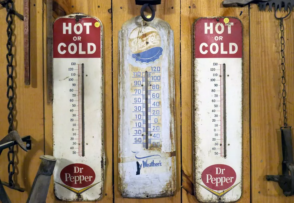
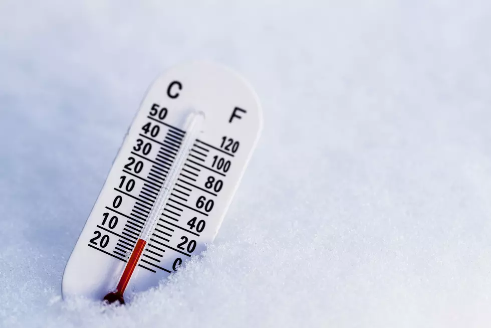
Ready for starting up your car and scraping off your windows? The Tri-State could see its first snow of the season starting Sunday night. One key is the Saturday and Sunday night lows will hover around 32 degrees. Gusty winds will also help cool us off.
Here is the forecast from the National Weather Service in Paducah:
Saturday
Sunny, with a high near 50. North wind around 5 mph becoming calm in the morning.
Saturday Night
Mostly clear, with a low around 32. Calm wind.
Sunday
A 30 percent chance of rain after noon. Mostly cloudy, with a high near 53. Calm wind becoming north around 6 mph in the afternoon.
Sunday Night
A chance of rain before 5am, then a chance of rain and snow. Cloudy, with a low around 33. North northwest wind 6 to 11 mph increasing to 13 to 18 mph after midnight. Winds could gust as high as 28 mph. Chance of precipitation is 50%.
Monday
A slight chance of rain, mixing with snow after 11am, then gradually ending. Mostly cloudy, with a high near 38. West northwest wind around 18 mph, with gusts as high as 28 mph. Chance of precipitation is 20%.
Monday Night
Mostly cloudy, with a low around 25. West northwest wind 10 to 16 mph, with gusts as high as 24 mph.
The Weather Channel has this to say about Sunday night into Monday:
Sunday Night: Occasional rain. Some snow showers mixing in late. Low 32F. Winds NNW at 10 to 20 mph. Chance of precip 70%.
Monday: Occasional snow showers. Temps nearly steady in the mid 30s. Winds NW at 15 to 25 mph. Chance of snow 50%. Snow accumulations less than one inch. Winds could occasionally gust over 40 mph.
There you have it. Even if we don't see any of the white stuff, it will feel like walking in a winter wonderland.

Enter your number to get our free mobile app
Check Out Louisville's Winter Woods Spectacular
More From WOMI-AM