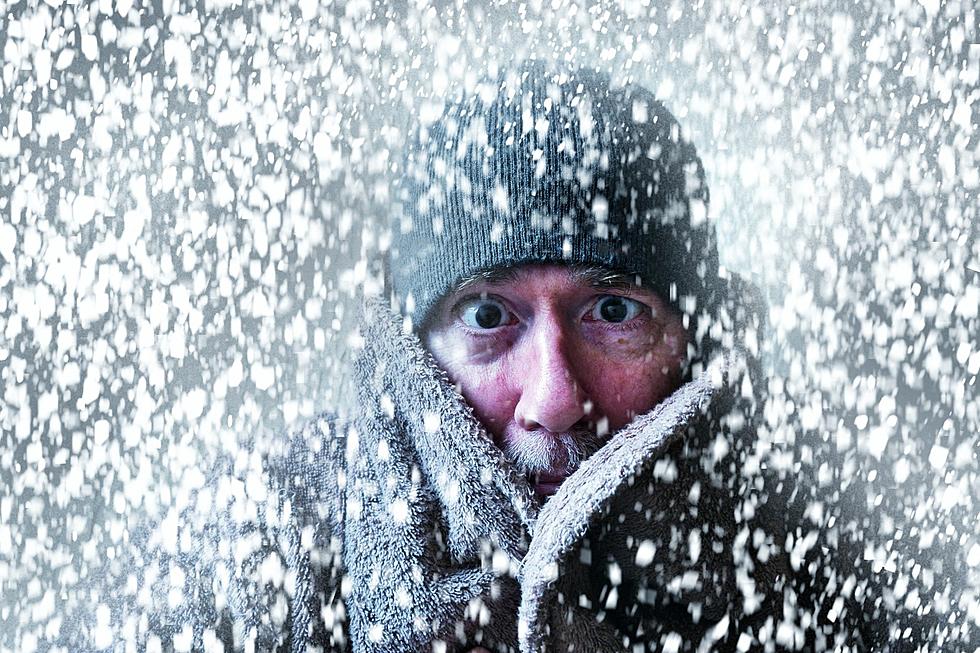
Snow, Sleet, and Ice Possible in the Evansville Area Wednesday Night
Winter has officially been underway in the Evansville area for just over a month and it's already been one of the more active winters in some time. Based on information from the National Weather Service on Sunday, it looks like another round of activity could be headed our way later this week.
While the beginning of the week will feel more like early Spring than it will mid-Winter with temperatures forecasted to be in the upper-50s on Tuesday, the warm-up will be short-lived as another cold front will be making its way across the area in the back half of the week. But, it's not the temperature drop they're concerned with this time around, it's the precipitation it may dump on us.
After what as of right now looks to be a really nice day on Tuesday with partly sunny skies and the aforementioned upper-50s, rain is expected to start falling Tuesday night and continue all-day Wednesday into Wednesday night, dropping between one to two inches of rain across the Tri-State.

The rain will still be falling when the cold front begins to enter the area Wednesday night into Thursday, dropping the temperature to below freezing which could change that rain into sleet before becoming full-on snow. The quick drop in temperature could also cause the moisture on the ground and roads from the earlier rain to freeze over causing slick driving conditions.
Nothing is Guaranteed
As with any winter or severe weather system during warmer months the National Weather Service monitors several days ahead, it's still too early to know exactly what is going to happen, and as we know all too well in the Tri-State, the weather can change quickly without much if any advance notice. We've already seen it twice in the last couple of weeks. Once about two weeks ago when there was some considerable confidence we'd see one to three inches of snow, only to have really dry, cold air suck up all the moisture and leave us with nothing. Then, late last week the NWS forecasted a 20% chance of flurries Thursday and Friday, and we ended up with enough snow to cover yards across the area.
We spoke to meteorologist Joe Bird this morning just before 8:00 AM to get the latest. Take a listen as he explains what the models are currently showing:
The early announcement of this newer weather system gives us all time to prepare in the event what they think may happen comes to fruition. Only time will tell.
[Source: National Weather Service on Twitter]


