Tornado Watch Issued for the Tri-State
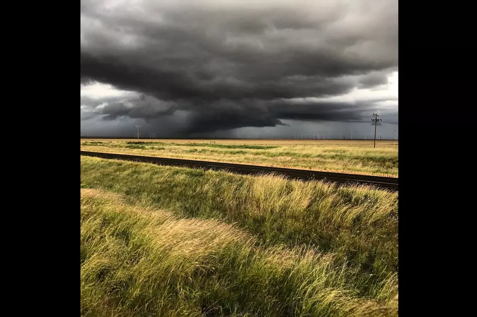
We've been watching the severe weather situation escalate throughout the week. We started with just a Slight-Level 2 risk a few days ago and that has now escalated to an Enhanced-Level 3 threat.
When I spoke with Eyewitness News Chief Meteorologist Wayne Hart earlier, he anticipated the tornado watch that just been issued, as of this writing. It expires at 11PM Central. Plus, I just heard him say, on his televised forecast, that this will be a fast-moving storm--50 to 60 miles per hour.
Here's the latest information from the National Weather Service:
.DAY ONE...This Afternoon and Tonight

A chance of thunderstorms is forecast late this afternoon and
evening. Severe storms are possible with damaging winds, large
hail, and tornadoes.

Strong southwest winds are expected to develop this evening and
persist into tonight over southwest Indiana, much of southern
Illinois, and the Lakes and Pennyrile regions of west Kentucky. A
Wind Advisory has been issued from 7 PM through 4 AM. Please
consult the Wind Advisory for details.

.DAYS TWO THROUGH SEVEN...Friday through Wednesday

There is a chance for thunderstorms Saturday afternoon and
evening, then again Tuesday night and Wednesday. A few storms may
reach severe limits late Saturday afternoon and evening over part
of the outlook area.
And here's the current map from the NWS Storm Prediction Center:
National Weather Service
We'll keep you updated as these storms move through the area.
TIPS: Here's how you can prepare for power outages
More From WOMI-AM