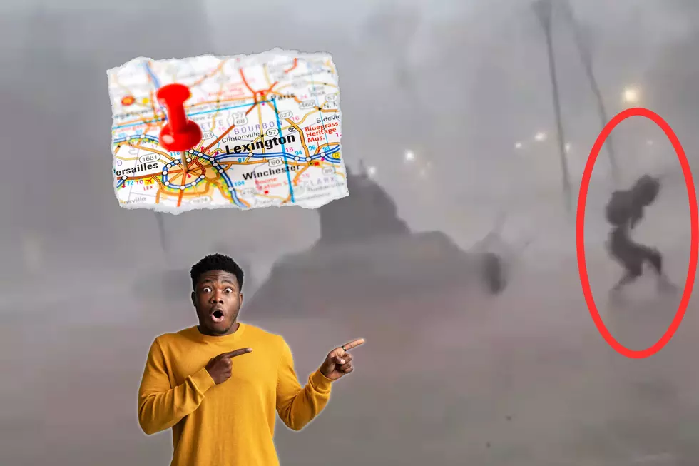
In April of 1987, Kentucky (and quite a few other states) got the nasty surprise of a lifetime. And here we all thought WINTER STORMS only happened in, you know, winter.
The first half of the workweek brought us the threat of severe weather. Will the second part bring us snow flurries? While the northern part of the country could see measurable accumulations, here's what we can expect.
The start of severe weather season is upon us here in the Ohio Valley. So, what's the 2024 tornado forecast for western Kentucky and southern Indiana? Here's what the experts are saying.
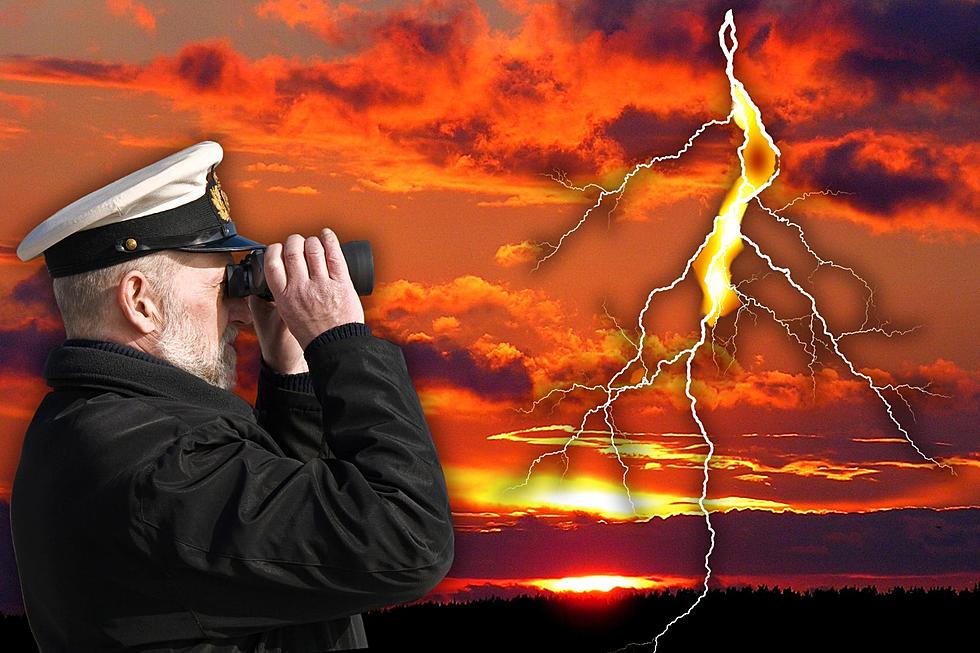
Have you ever heard the old adage "Red sky at night, sailor's delight. Red sky in the morning, sailor's warning?" What exactly does that mean and is there any truth to it?
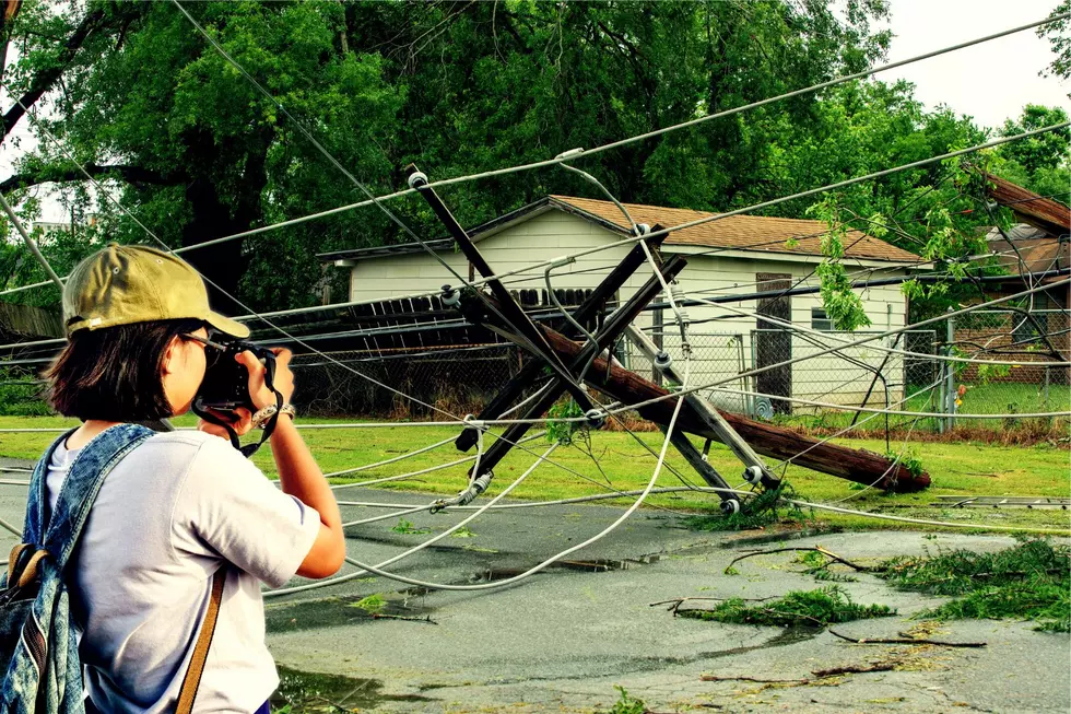
Flying debris will be dangerous to those caught without shelter. Mobile homes will be damaged or destroyed. Damage to roofs, windows, and vehicles will occur. Tree damage is likely.
Do you know a high school or college student interested in meteorology or atmospheric science? Here's where they can have a really cool experience this summer. -->
Inspired by a current TikTok trend, we've come up with a fun list of all-too-accurate stereotypes for us Kentuckians. Chime in and let us know what you would add!
If you are counting down the days until it is time to walk through a glorious greenhouse to pick out flowers or starts for your vegetable garden, here is the light at the end of the wintry tunnel.