National Weather Service-Paducah Requesting Photos of KY Storm Damage
The April 2nd, 2024 severe weather outbreak across Kentucky, parts of Indiana, and a large section of Ohio produced a lot of tornadic damage in the Commonwealth.
The WHAS Sky11 drone captured these images after what is believed to be an EF-1 tornado tore through Jeffersonville IN.
In Paris KY, surveyors believe 95 MPH winds from an EF-1 yielded the following:
Well, look at what I just found. Kentucky, Indiana, and Ohio weren't the only bullseyes from yesterday's storms. Take a look at what happened down in Conyers GA:
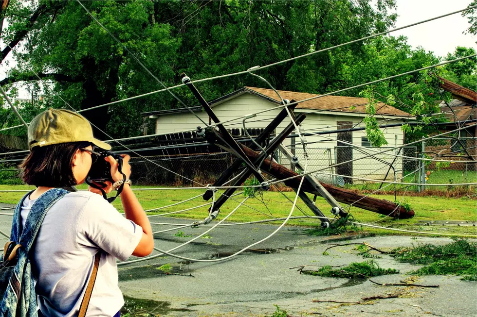
There's still much work to be done by clean-up crews and surveyors. In the meantime, Kentuckians can send their images of the Tuesday storms to the National Weather Service, which archives such photos in its historical database and aids in their investigation.
The National Weather Service's Paducah office still has a lot of survey damage, as you can imagine, and it's going to take a few days to accomplish these tasks. So far, based on damage reports already submitted, the NWS has marked the shaded areas for investigation.
Since many more areas require investigation, the National Weather Service requests that you submit photos of tornado or storm damage by using this storm reports form. You can also tag "US National Weather Service Paducah Kentucky" on social media. And if you do choose to use social media, do not forget to include your location.
It's been an exciting couple of days. Now...on to the DARKNESS and the total solar eclipse.
LOOK: The most expensive weather and climate disasters in recent decades
Gallery Credit: KATELYN LEBOFF
