How Many Tornadoes Will We See in Kentucky and Indiana in 2024?
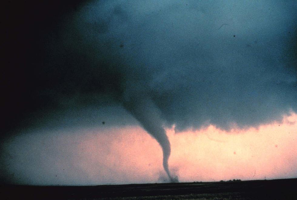
Today is the first day of spring and severe weather season is upon us here in western Kentucky and southern Indiana. We've already had a couple of severe weather threats tied to unseasonably warm days in February and early March that were upended by cold fronts barreling across the Midwest. In fact, in February, we experienced an enhanced threat of severe weather when the temperature plummeted nearly 50 degrees over a 24-hour time span. Luckily, we escaped that particular storm system relatively unscathed.
So, now that we're officially rolling into spring, what are forecasters predicting in terms of tornadic activity here in the Tristate area? As it turns out, the frequency of tornadoes, the strength of them and number of them, can be tied to the El Niño and La Niña weather patterns. The good news for this particular part of the country? Due to El Niño, the severe weather season may get off to a "sluggish" start, but could ramp up considerably in May. That's according to the experts at AccuWeather.
YouTube weather personality Ryan Hall, who's from Pikeville, Kentucky and founder of The Y'all Squad (a nonprofit which raises money for storm victims), recently shared his in-depth analysis about the 2024 tornado season. He explains why it will be 'very' different from what we've experienced the last two or three years.
To round out the predictions for the upcoming severe weather season, I consulted Eyewitness News Meteorologist Ron Rhodes.
Ron is essentially rowing the same boat. He agrees that having El Niño in place will likely mean fewer tornado events in the first part of the spring. However, "the transition to a La Niña pattern by June could mean a more active May & June for tornadoes in the Ohio Valley." Ron adds that "records show that El Niño leads to fewer tornado events & La Niña springs are more active."

KEEP READING: What to do after a tornado strikes
LOOK: The most expensive weather and climate disasters in recent decades
Gallery Credit: KATELYN LEBOFF