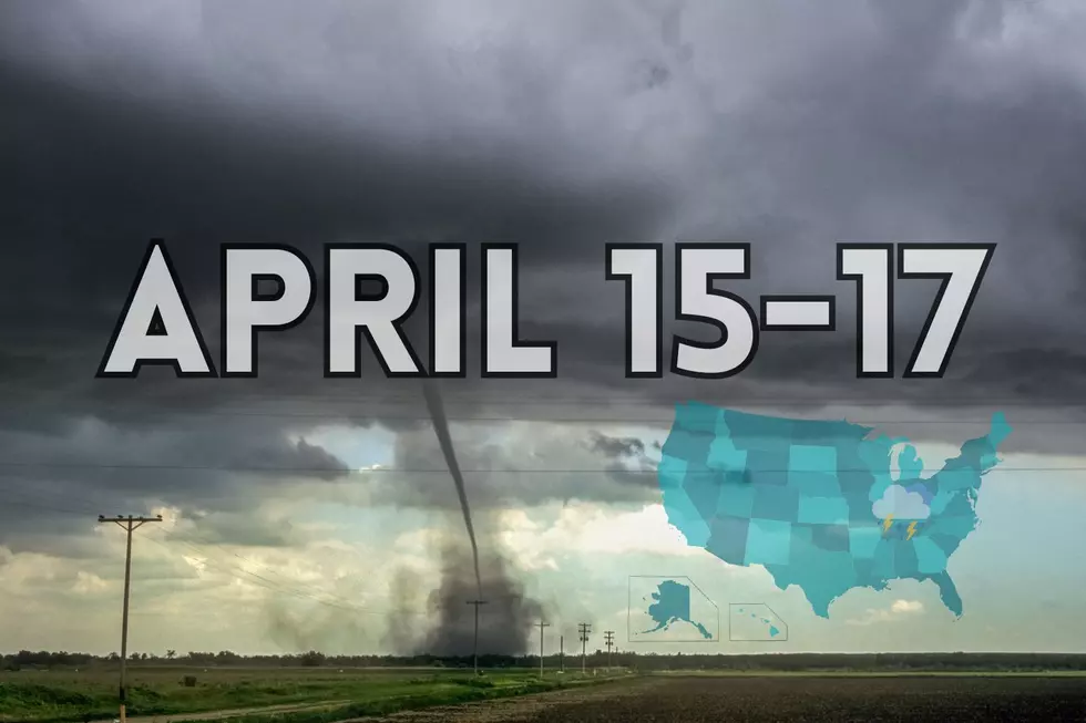
Yesterday's powerful storms appear to have produced a potentially long-track tornado in western Kentucky. Teams will assess the damage on Memorial Day.
The National Weather Center's Storm Prediction Center is warning residents of western Kentucky and southern Indiana of a potentially hazardous severe weather threat for Sunday.
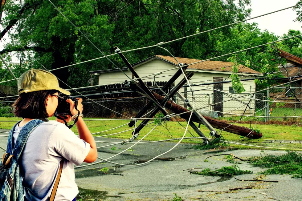
Southern Indiana saw flash flooding yesterday, and more rain and potential for flooding are predicted. Here's what to do if you encounter flooding while driving.
The first half of the workweek brought us the threat of severe weather. Will the second part bring us snow flurries? While the northern part of the country could see measurable accumulations, here's what we can expect.
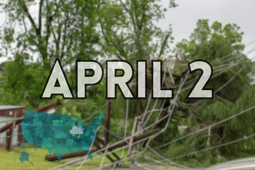
This morning, I woke up and saw that we were in a Tornado Watch. No biggie - right? We live in the new tornado alley. I was peacefully working and then my phone started going bananas. I turned on the Eyewitness News livestream and hear Wayne say, WARRICK COUNTY GET IN YOUR TORNADO SAFE SHELTER...