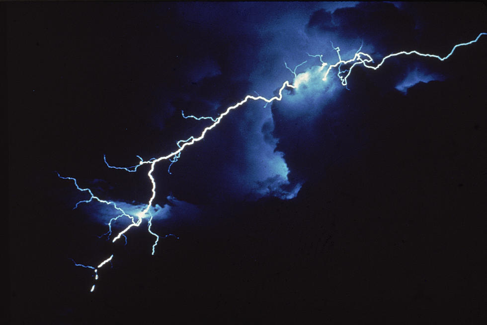
Tri-State Still at Slight/Marginal Risk for Severe Weather
After a couple of rounds of severe weather rolled through the Tri-State Friday night and early Saturday, residents still need to be weather aware going into Saturday evening/night and for all day Sunday.
Here's the latest from the National Weather Service at Paducah:
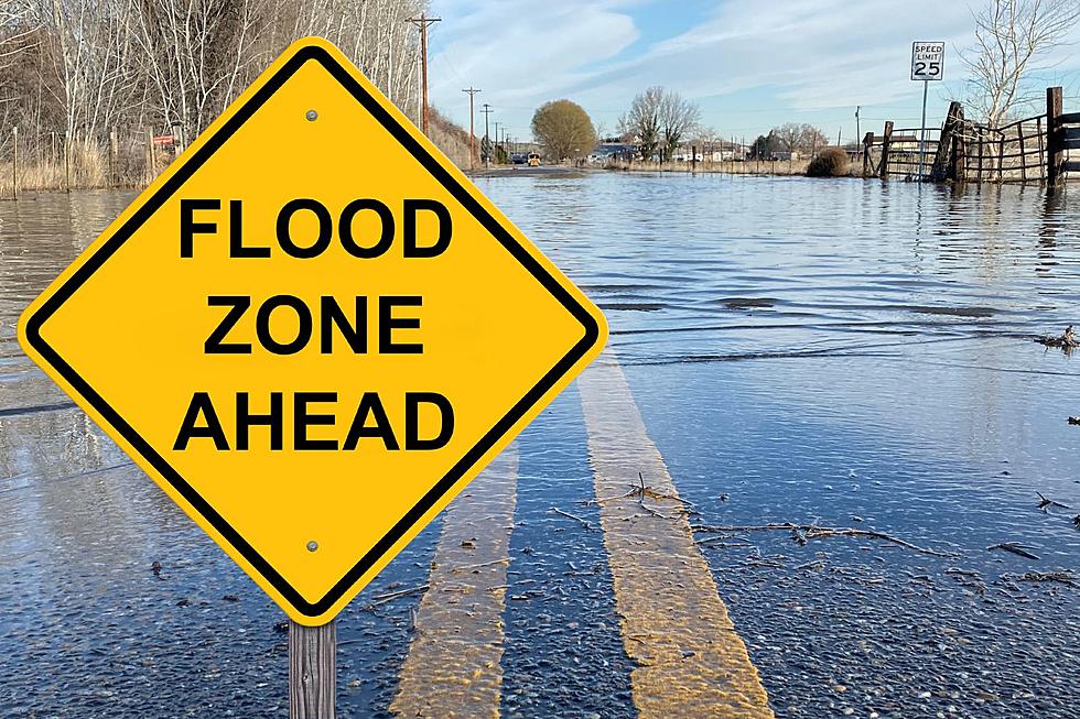
This Hazardous Weather Outlook is for portions of southern
Illinois, southwest Indiana, western Kentucky, and southeast
Missouri.

.DAY ONE...Today and Tonight

Isolated to scattered thunderstorms may develop in the heat of the
afternoon. A few storms could become severe. Damaging winds will be
the primary hazard, but isolated large hail is possible.

Heat indices are forecast to range from 100 to 105 degrees this
afternoon where coverage of storms is lowest, mainly in southeast
Missouri and southern Illinois.

.DAYS TWO THROUGH SEVEN...Sunday through Friday

Another round of numerous thunderstorms is expected to develop
later Sunday into Sunday night. The primary hazard will be the
potential for more heavy rainfall. A few storms could be strong or
severe, with strong winds and hail.

There is a slight chance of mainly daytime thunderstorms Monday
through Friday. Severe storms are not anticipated during this
time period.
Counties in far Western Kentucky and west, southwest of Owensboro are still under a slight risk for severe weather the remainder of Saturday, as well as north and northwest of the Ohio River.
Keep it tuned to 92.5 WBKR and we will pass along all updates along with Your Weather Authority, Eyewitness News.
More From WOMI-AM
![Severe Storms Tear the Roof Completely Off Indiana Church [PHOTOS]](http://townsquare.media/site/71/files/2023/03/attachment-St-Joe-Damage-South-Face-02.jpg?w=980&q=75)